Field Operations
Want to put drones to work but have not yet launched your own in-house program?
DRONE TEAMS
Our FAA-licensed pilots-in-command lead drone teams that have extensive public safety, critical infrastructure, or manned flight experience.
OPERATIONS
We handle all the details: Flight plans, regulatory filings, and interaction with stakeholders for safe, legal operations, that respects the privacy of others.
ASSIGNMENTS
Our drone teams are available for short- or long-term assignments, domestic or beyond, including deployment to wide area disaster zones.
Our Services
Inspections and Assessments
We conduct energy asset assessments, structural & infrastructure inspections, wear & damage assessments, environmental research, water monitoring, construction and project progress documentation, commercial & industrial real estate photography, rooftop inspections, and related critical infrastructure assignments.
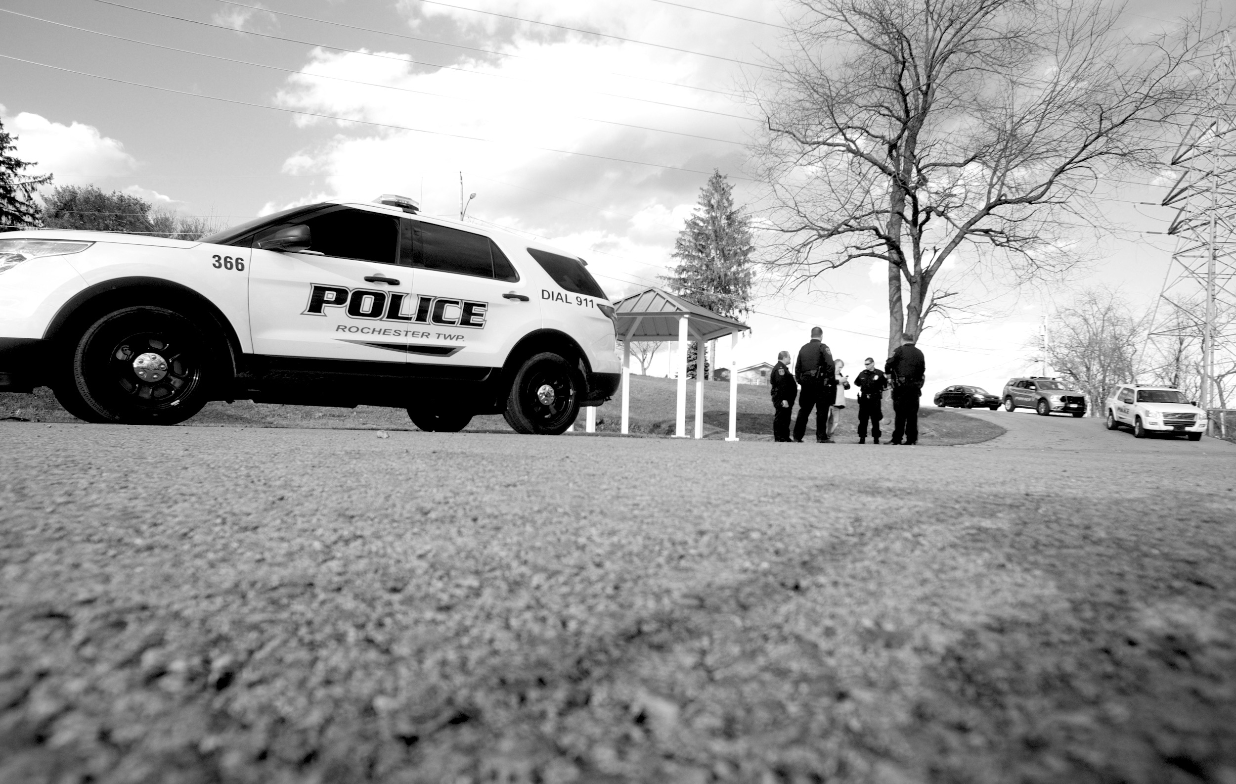
Public Safety Response
More than 80% of our roster is comprised of current and former first responders. Their experience is evident in our wide range of public safety response services including, but not limited to: search and rescue/recovery, perimeter monitoring, situational size-up/assessment, pre-raid building & neighborhood imaging/assessment, active rampage & hostage events, wildfire monitoring, public relations/recruitment, traffic and event monitoring, and wide scale disaster response.
Detection, Documentation, & Reconstruction
We document incidents (vehicle and aircraft crashes, crime and fire scenes, structural collapses), wide area disaster damages, insurance inspections, and locations that are subjects of litigation.
Data Visualization
We stream secure live video and data from our drones or stationary remote sensors to personnel on-site or around the world. We process and manage data collected by our teams or clients in multiple formats including, but not limited to high definition video, high resolution photographs and orthomosaics, topography mapping, elevations, 3D BIM and CAD models, DEMs, DTMs, vegetation health maps, volumetric calculations, flood risk mapping, and water damage assessments.